
Bum La is a 4,600 m pass on the India–China border, 37 km north of Tawang. Only Indian citizens may visit, with a special permit issued in Tawang a day ahead on top of the eILP. Only Tawang-registered SUVs are allowed. Snow and security conditions often close it, so treat any date as provisional.
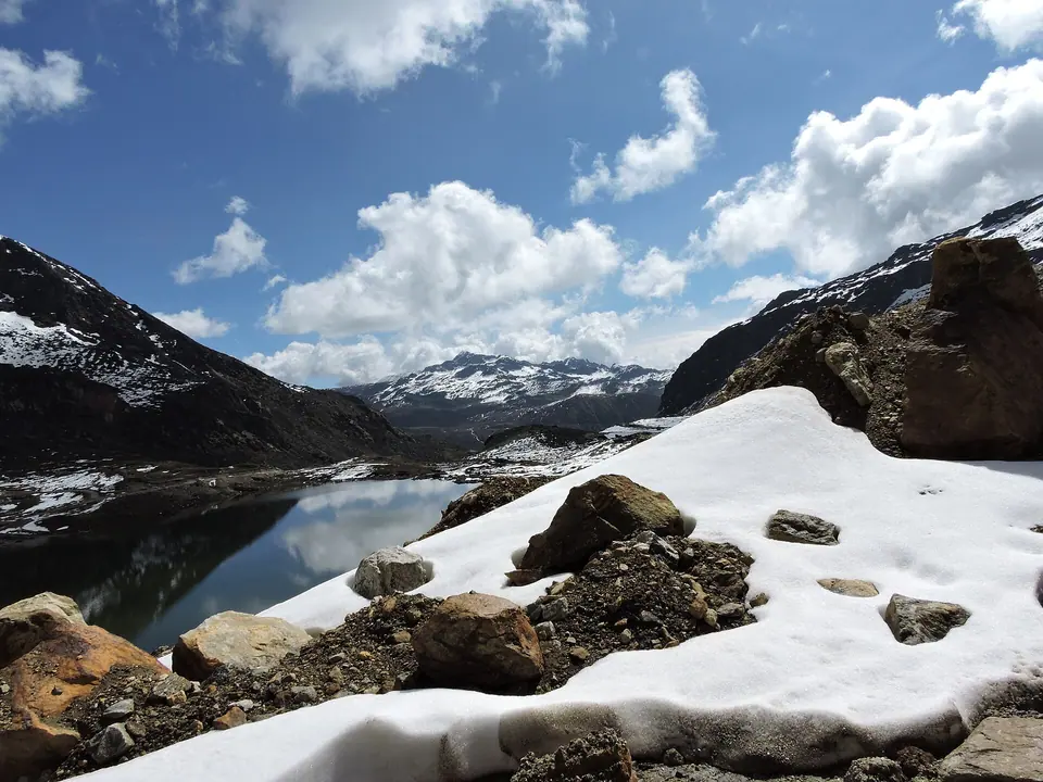
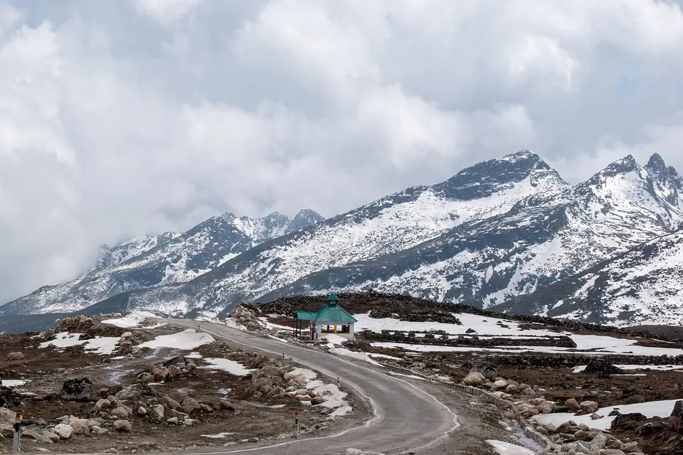
Bum La is where the road runs out. From Tawang an army road climbs past PT Tso and a string of frozen tarns to a windswept saddle at about 4,600 m, where an Indian Army post, a small memorial and a line of stones mark the border with Tibet. It is one of the official meeting points where Indian and Chinese officers hold scheduled talks.
The pass also carries the weight of 1962, when Chinese troops came through here and one of the hardest battles of that war was fought on these slopes. Soldiers at the post usually give visitors a short talk about the border and the war, and it is the part of the trip most people remember.
Getting there takes paperwork and patience. The permit is issued only in Tawang, only Indian citizens are allowed, and the army can stop visits for weather or security at short notice. We plan every Tawang trip with a spare day for Bum La.
What makes it worth the trip
The border post
A short, guided stop with the army at the pass, where soldiers explain the border and the 1962 war.
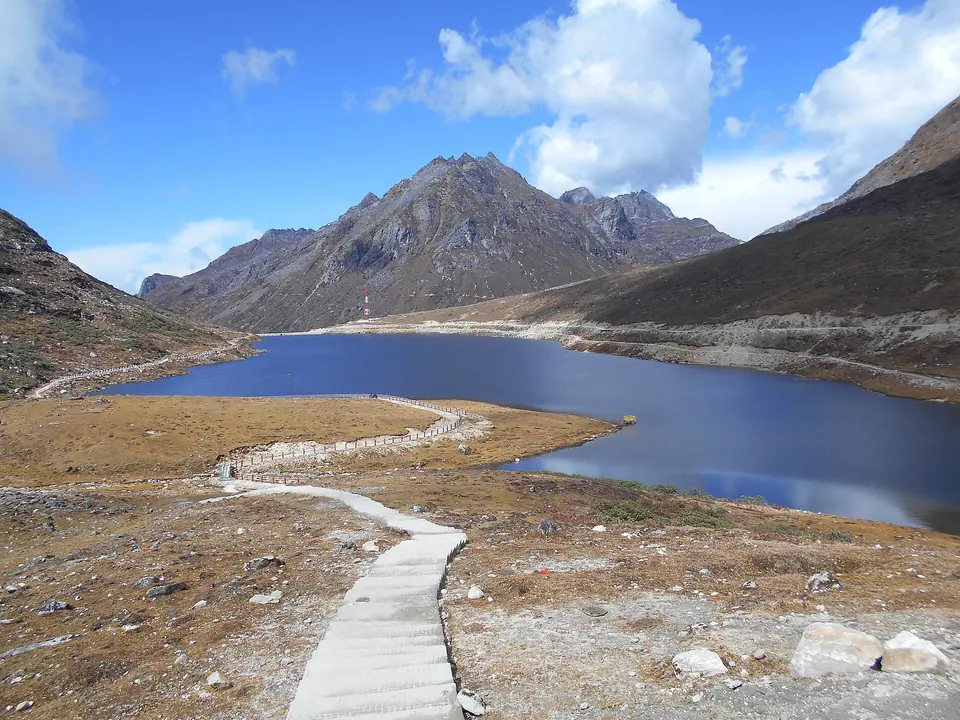
Pankang Teng Tso (PT Tso)
A high lake on the way up, about 17 km from Tawang, usually frozen from December to March.
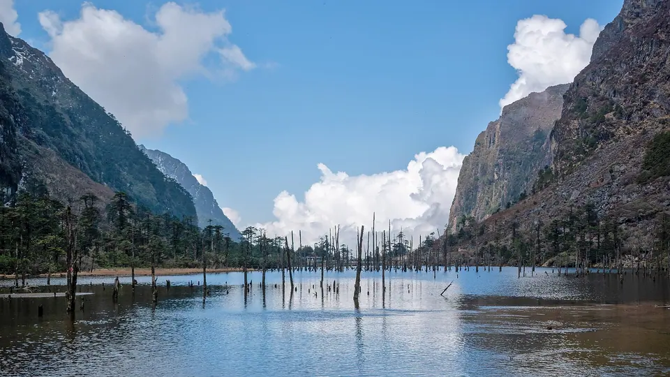
Madhuri (Sangetsar Tso) Lake
On a branch road off the Bum La route; most people visit it on the way back the same day.
High-altitude tarns
Dozens of small lakes line the road above 4,000 m, frozen white in winter and blue in May.
1962 history
Memorials along the route record the Battle of Bum La, one of the fiercest actions of the Sino-Indian war.
 Saptaparnipal.32 · Commons · CC BY-SA 4.0
 Rohit Sharma · Commons · CC BY-SA 4.0
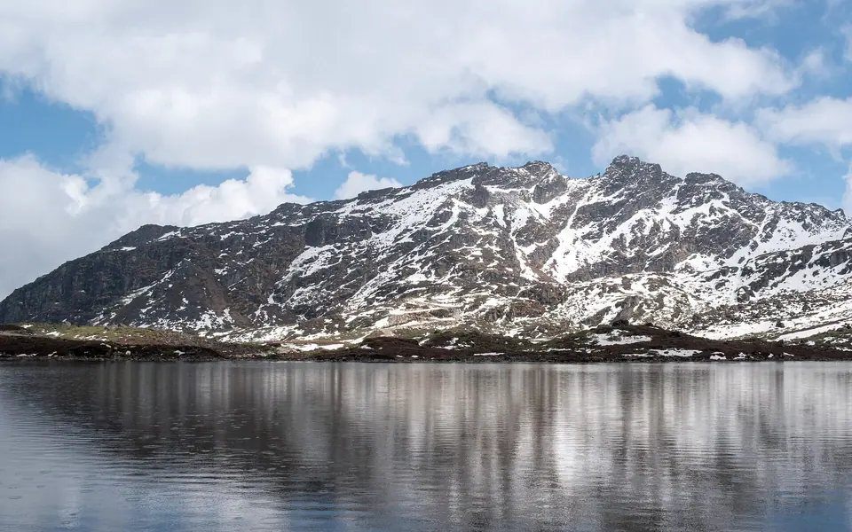 Rohit Sharma · Commons · CC BY-SA 4.0
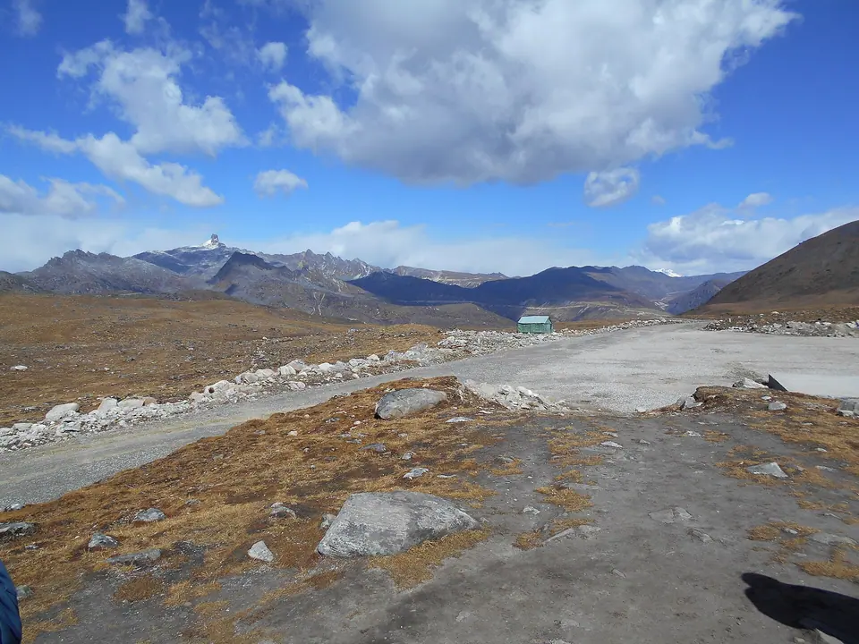 Itrajib · Commons · CC BY-SA 4.0
Things to do
- Hand your eILP copies and ID to your hotel or driver on arrival so the permit can be filed a day ahead
- Leave Tawang by 7 am to reach the pass before cloud builds up
- Stop at PT Tso on the way up for photographs
- Listen to the army briefing at the pass and follow every instruction about photography
- Visit Madhuri Lake on the way back and have tea at the army-run cafe
- Carry snacks and water; there is almost nothing to buy on the route
- Keep a buffer day in case the pass is closed on your chosen date
Getting there
Bum La is 37 km from Tawang by army road, but it takes 2 to 2.5 hours each way because the surface is broken and steep. Only local Tawang-registered SUVs are allowed, and the vehicle's details go on your permit, so your Guwahati or Tezpur car stays in town. A Bum La, PT Tso and Madhuri Lake day costs roughly Rs 5,500 to 6,000 per vehicle in recent seasons. To reach Tawang itself, drive from Tezpur (about 320 km) or Guwahati (about 500 km) over two days via Dirang. Permit days, timings and fees change; check current status before you travel.
Where to stay
Stay in Tawang town; there is nowhere to stay on the Bum La road. Choose a hotel or homestay whose owner regularly arranges Bum La permits and local SUVs, which saves you a trip to the DC office. Being in the upper part of town, towards the monastery road, puts you on the right side for an early start. From October to April, ask for a heater and an early packed breakfast, because you want to be on the road by 7 am.
Local tips
- Apply for the permit on a working day as soon as you arrive in Tawang; it is stamped at the army cantonment before use
- Carry original photo ID plus two photocopies of your eILP and ID
- Photography of army installations is forbidden; ask the soldiers before taking any picture
- Wear everything warm you have; wind at the pass is bitter even in May
- Do not go on your first day at altitude; spend at least one night in Tawang first
- Heavy snow from late December to March can close the road for weeks; check current status before you travel
Rain and weather
Source: modelled climate data
April–May and October–November, when the army road is most often open; winter snow and monsoon cloud close it regularly.