
Bomdila is the headquarters of West Kameng district at about 2,415 m, on NH-13 roughly 162 km and 5 hours from Tezpur. Most travellers stop here or at Dirang on the way to Tawang. Indians need a tourist eILP, checked at Bhalukpong; foreigners need a PAP. It has monasteries, orchards and Himalayan views.
Bomdila is the first proper hill town on the Tawang road, a place of steep lanes, monasteries, government offices and apple orchards spread across a ridge at about 2,415 m. It became the headquarters of the area in 1954 and still has the feel of an administrative town rather than a resort, which we rather like.
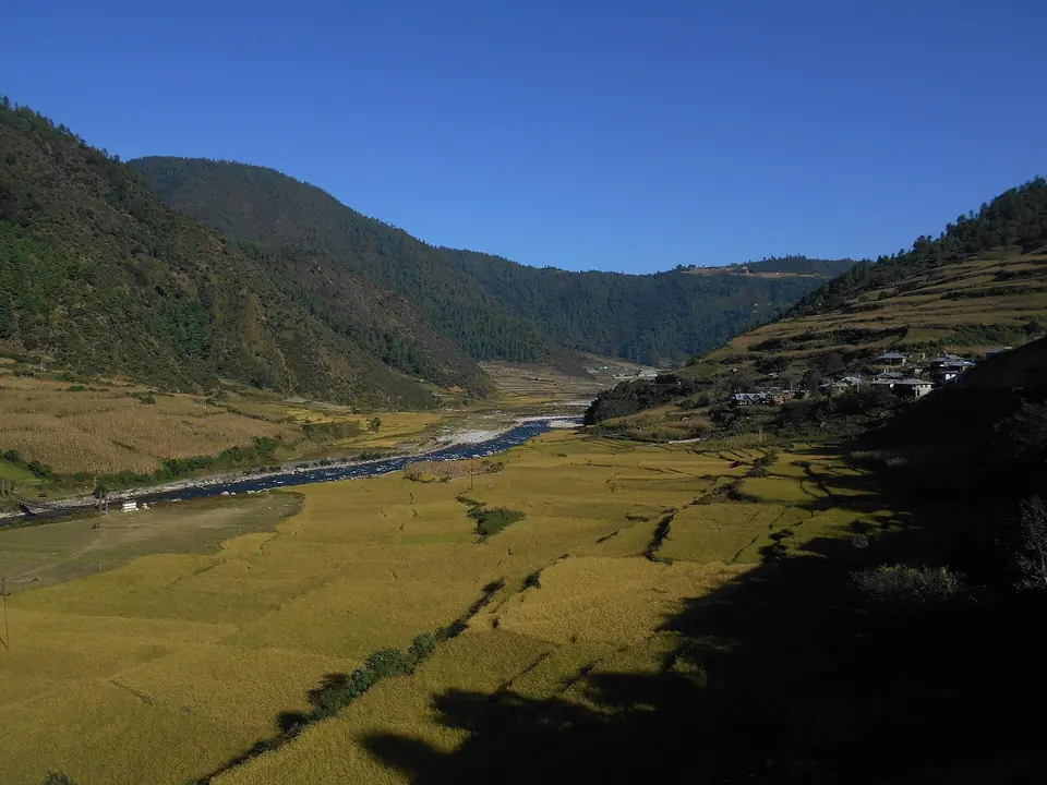
The draw is the view: on clear October and November mornings the Kangto and Gorichen ranges line the northern horizon. The Gontse Gaden Rabgye Ling monastery (the upper gompa), smaller gompas around town and the craft centre make an easy half day. Monpa, Sherdukpen, Aka, Miji and Bugun communities all live in the district.
Bomdila works best as an overnight stop after the climb from Bhalukpong. If you have an extra day, the Eaglenest Wildlife Sanctuary and the Tenga valley below the town are among the best birding areas in India.
What makes it worth the trip
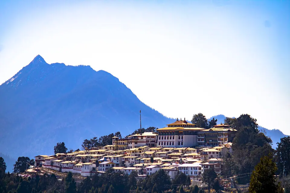
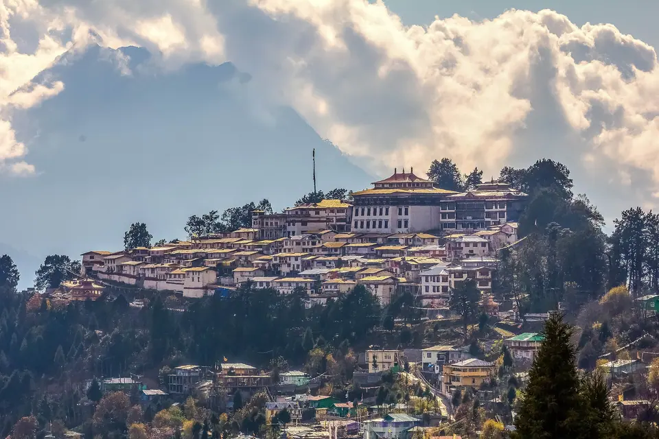
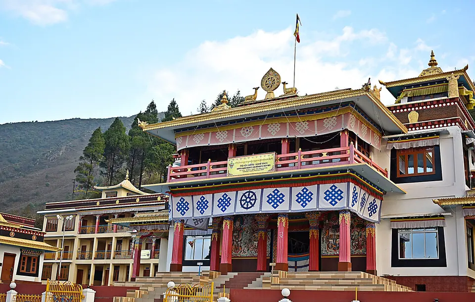
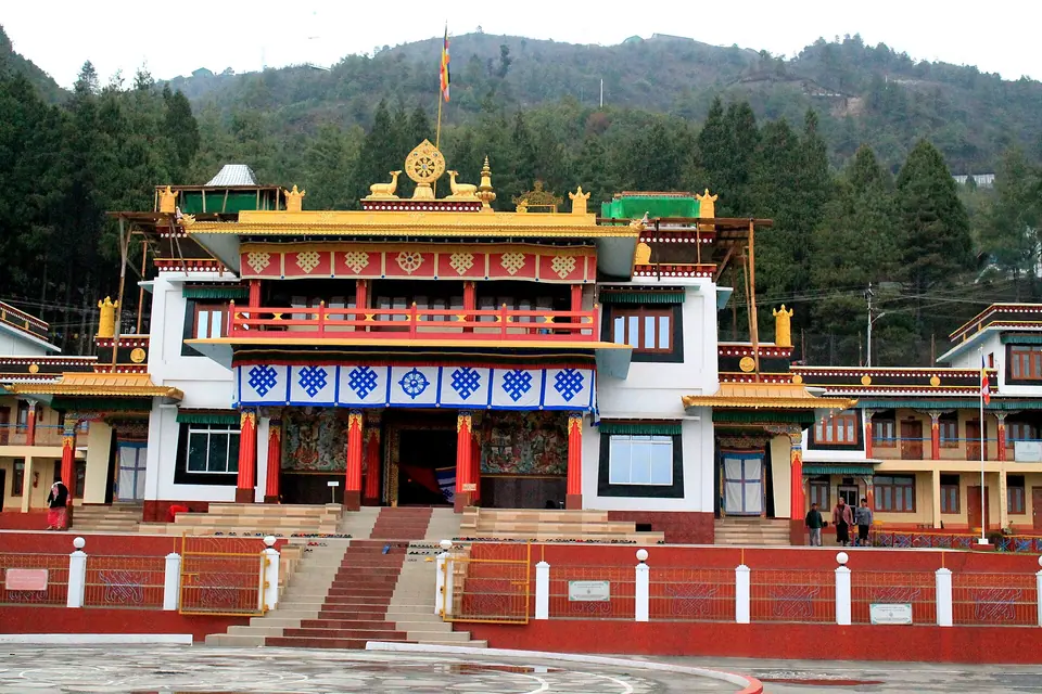
Bomdila Monastery
Gontse Gaden Rabgye Ling, the upper gompa, with a large prayer hall, murals and valley views.
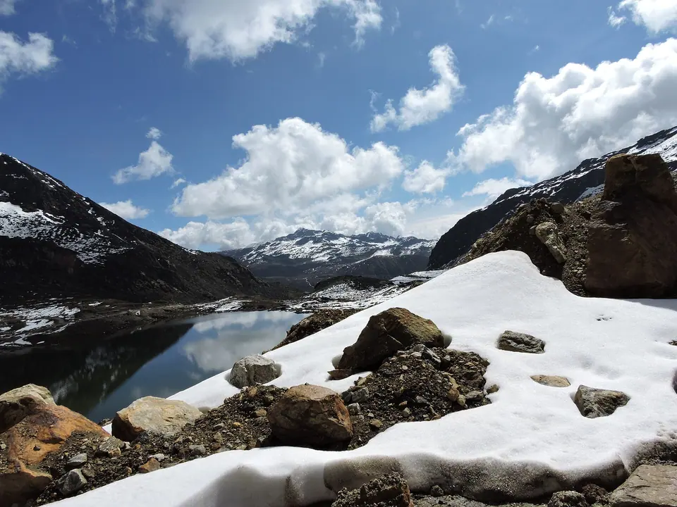
Himalayan view point
On clear mornings, the Kangto and Gorichen peaks rise above the ridges to the north.
Craft centre
Monpa carpets, masks and woodwork made and sold at the government craft centre.
Apple and kiwi orchards
Orchards around town and down towards Dirang, heavy with fruit from August to October.
Eaglenest and Tenga
Below Bomdila, Eaglenest Wildlife Sanctuary is known for the Bugun liocichla and hundreds of other bird species.
 Rohit Sharma · Commons · CC BY-SA 4.0
 Arkadipta Chandra · Commons · CC BY-SA 4.0
 TassoRija · Commons · CC BY-SA 4.0
Things to do
- Visit the upper monastery in the early morning for prayers and views
- Walk through the market and lower gompa area in the evening
- Buy a Monpa carpet or mask at the craft centre
- Drive to the view point at sunrise on a clear day for the Kangto range
- Book a birding day at Eaglenest with a local guide
- Stop at the Tipi Orchid Centre near Bhalukpong on the way up
- Continue to Dirang (about 42 km) for hot springs and Dirang Dzong
Getting there
Bomdila is about 162 km from Tezpur, 5 to 6 hours via Bhalukpong, where the eILP or PAP is checked, and Tenga. From Guwahati it is about 320 km, 8 to 9 hours, so start early. Tezpur has the nearest airport; Rangapara and Tezpur the nearest railheads. The Bhalukpong to Tenga stretch has landslide-prone sections that can hold traffic during the monsoon. Shared Sumos run from Tezpur and Bhalukpong. Tawang is about 167 km further, via Dirang and Sela. Check current status before you travel.
Where to stay
Bomdila has government-approved hotels and guesthouses around the market and the upper town, plus a growing number of homestays with orchard or valley views. Rooms are simple but warm; ask for a heater from November to March. If you want quieter surroundings and a lower sleeping altitude, many travellers push on 42 km to Dirang, which has more homestays and farmstays. Birders heading to Eaglenest often stay at camps near Lama Camp or in Tenga valley instead.
Local tips
- Leave Tezpur by 7 am to reach Bomdila before dark
- Carry cash from Tezpur; ATMs in Bomdila exist but can run dry
- BSNL, Airtel and Jio work in town; signal is weak on the Tenga stretch
- Nights are cold even in April; carry a warm jacket
- Monsoon landslides between Bhalukpong and Tenga can block the road for hours
- Bomdila gets occasional snow in January and February, but less than Sela
Rain and weather
Source: modelled climate data
March to May and September to November for clear views of the Kangto and Gorichen ranges; winter is cold but usually open.