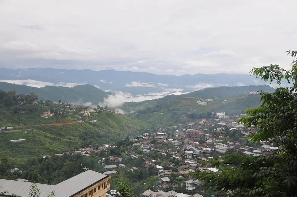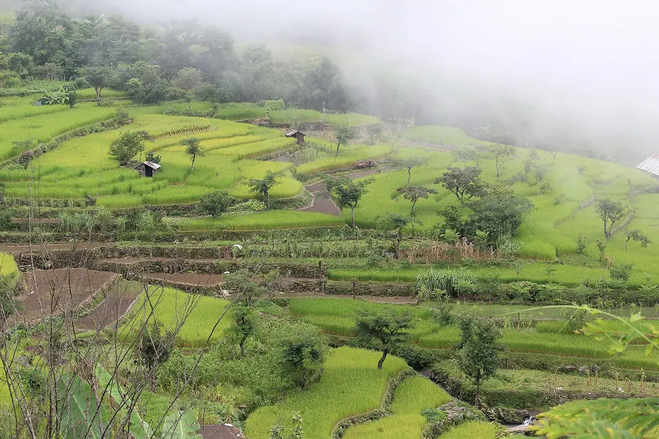

Dzukou Valley is a high grassland valley at about 2,450 m on the Nagaland-Manipur border, around 25 km south of Kohima. Trek in from Viswema (gentler, about 8 km from the road head) or Jakhama (steeper), 3 to 5 hours one way. Stay at the basic rest house. You need a Nagaland ILP.
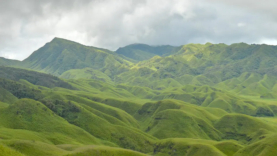
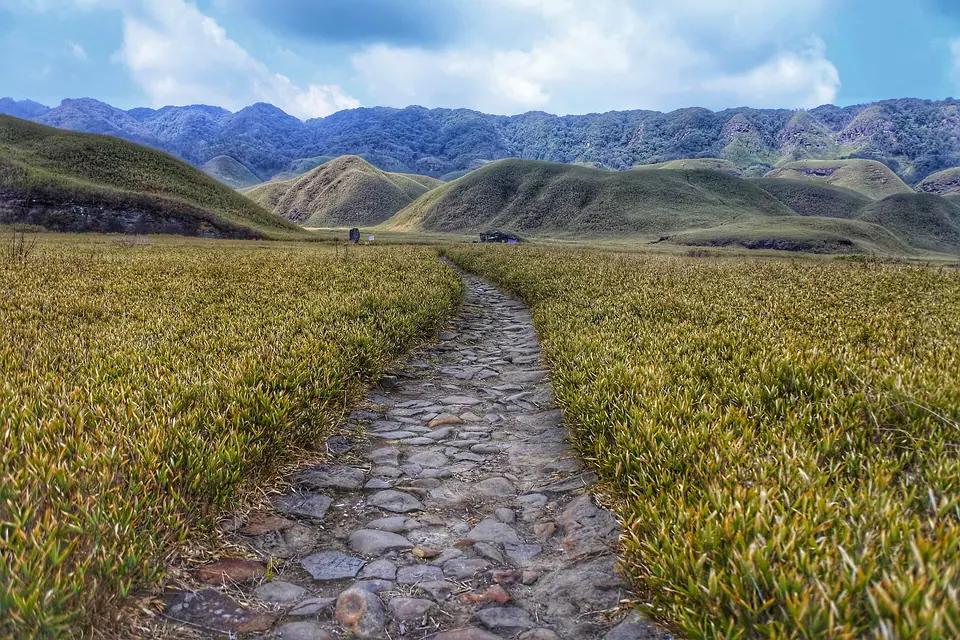
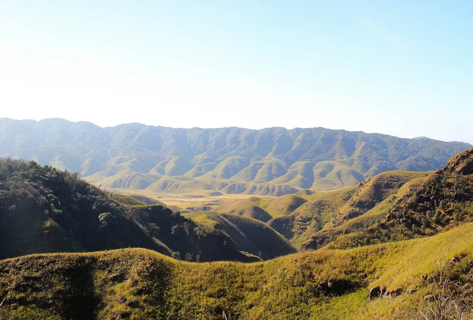
The first view of Dzukou comes suddenly. After a steep climb through forest and a long walk along a ridge, the trail turns a corner and you look down on a wide valley of rounded green hills, dwarf bamboo and winding streams, with no roads or buildings except the rest house on a slope. It sits at about 2,450 m on the border between Nagaland and Manipur.
Most trekkers start from the Angami villages of Viswema or Jakhama, about 25 km south of Kohima on the Imphal road. The Viswema route begins with a drive up a rough road to a trailhead, then a steep climb of about 1.5 hours and a gentler ridge walk; the Jakhama route is shorter but climbs hard through forest. Many people go up one way and down the other.
The valley is known for the Dzukou lily, a pink lily that blooms in early summer, and for its winter sunrises. Forest fires have hit the area several times, including in early 2026, and the valley can be closed at short notice. Check current status with the Southern Angami Youth Organisation or your guide before you travel.
What makes it worth the trip
Viswema route
A drive to the road head, a steep 1.5 hour climb, then a ridge walk to the valley rim. About 8 km on foot one way and 3 to 4 hours for average walkers.
Jakhama route
A shorter but steeper forest trail straight up from Jakhama, 3 to 4 hours of hard climbing. Better as a descent for strong knees.
The valley floor
Rounded hills of dwarf bamboo cut by clear streams, best walked in the morning after a night at the rest house. Allow 2 to 3 hours to explore.
Dzukou lily
A pink lily that blooms in early summer, roughly June, on the valley slopes. Do not pick it; it is protected.
Sunrise from the rest house
On clear winter mornings, mist fills the valley and the first light catches the ridge tops.
 Samudra Bikash Hazarika · Commons · CC BY-SA 4.0
 নিৰঞ্জন বড়া · Commons · CC BY-SA 4.0
 SeethaG · Commons · CC BY-SA 4.0
Things to do
- Trek in from Viswema and out via Jakhama for a loop
- Spend a night at the Dzukou rest house or in a tent nearby
- Walk down to the valley floor and follow the streams
- Watch sunrise from the slope above the rest house
- Look for the Dzukou lily in early summer without picking it
- Hire a local Angami guide from Viswema or Jakhama
- Combine the trek with Khonoma and Kohima
Getting there
Fly or take a train to Dimapur, then drive 74 km to Kohima, about 2.5 to 3 hours. From Kohima, Viswema and Jakhama are about 20 to 25 km south on the road towards Imphal, around 45 minutes to an hour. From Viswema, a rough road climbs to the trailhead; a local taxi can take you up, cutting the walk. From Jakhama the trail starts close to the village. Start by 7 am to reach the rest house in daylight.
Where to stay
The main place to stay in the valley is the rest house run by the local Southern Angami community, with dormitory beds, a few private rooms and tent space. It is basic: bring a sleeping bag, torch and warm layers, and pay a small fee in cash. Simple meals such as rice, dal and Maggi may be available but carry food. Before and after the trek, stay in Kohima or in homestays in Viswema and Jakhama, which save a morning's drive.
Local tips
- Carry your Nagaland ILP; checks happen on the road and at the trailhead
- Start early, by 7 am, to finish the climb before afternoon cloud and rain
- Take a sleeping bag, torch, rain jacket and warm layers for the rest house nights, which can drop below freezing in winter
- Carry cash for the entry fee, rest house and any food
- Do not light fires in the valley and carry all your rubbish out
- Fires or rules can close the valley at short notice; check current status before you travel
Rain and weather
Source: IMD 1991–2020 normals
October to March for clear skies; June and July for green slopes and the Dzukou lily, with rain and leeches.