
Sela Pass is a 4,170 m pass on NH-13 between Dirang and Tawang, about 78 km before Tawang town, with Sela Lake beside the road. Indians need an eILP, foreigners a PAP. Since March 2024 the Sela Tunnel bypasses it, but tourist cars still cross the old pass road when it is open.
For most of the Tawang road's history, Sela was the obstacle: a 4,170 m saddle that snow closed for days at a time each winter. We have sat in queues of army trucks at the Sela gate waiting for the BRO to clear drifts, and walked the last few hundred metres to the lake because the car could not grip.
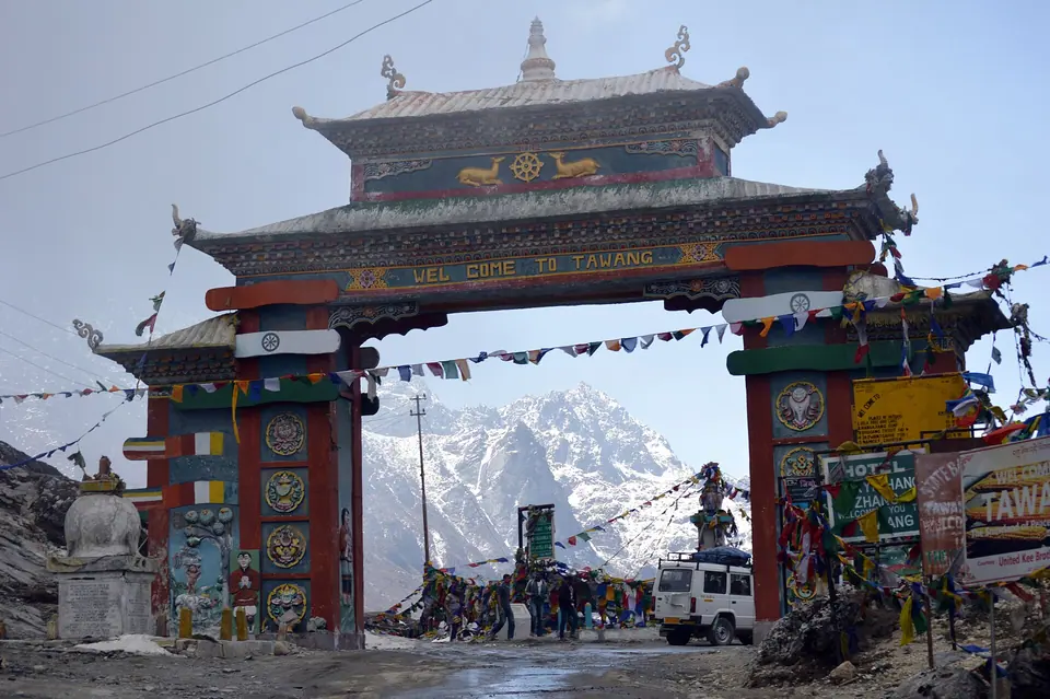
Since March 2024 the Sela Tunnel, at about 3,000 m, carries through traffic below the pass and keeps Tawang connected in winter. The old road over the top has not gone away. Tourist cars heading up to Tawang still take it when the weather allows, because the pass is the point: the painted gate, prayer flags, Sela Lake beside the road and snow on the slopes for much of the year. On the way down, most drivers now use the tunnel.
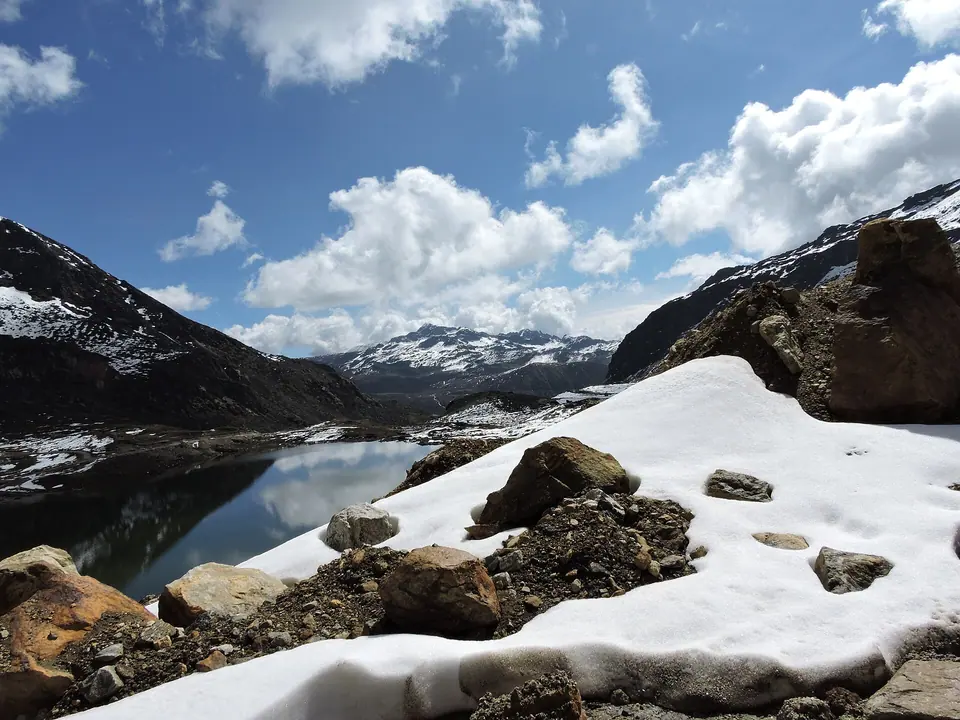
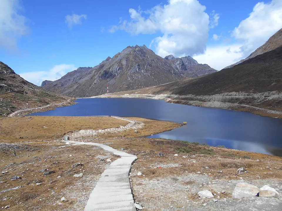
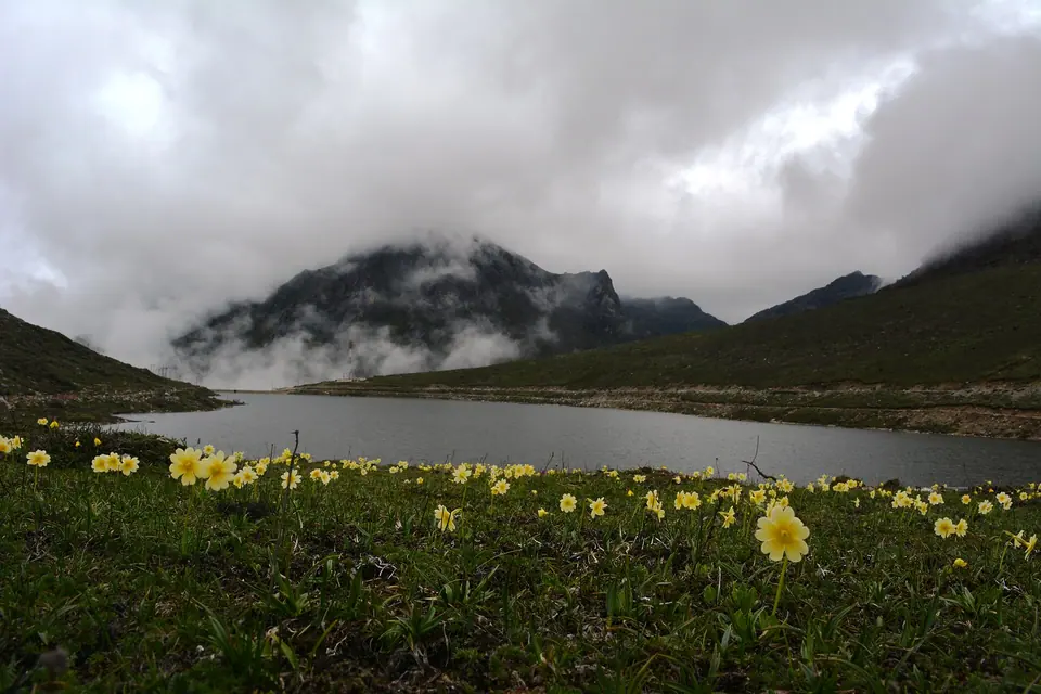
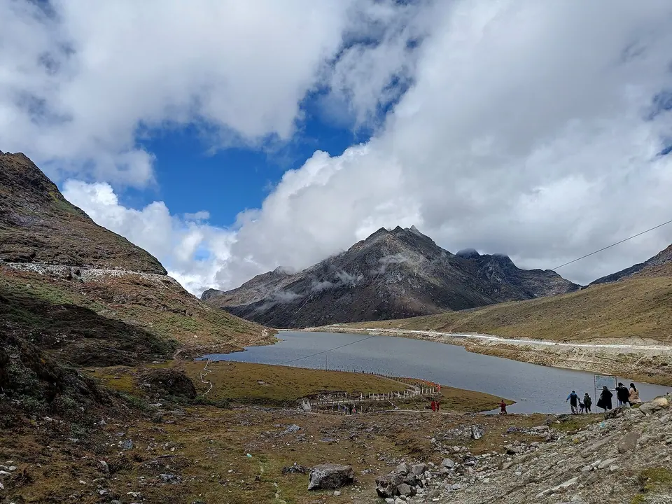
Sela Lake freezes in winter and is sacred to local Buddhists; there are said to be around 101 sacred lakes in the surrounding hills. Stop for half an hour, have a tea at the army-run canteen when it is open, and keep moving before the altitude catches up with you.
What makes it worth the trip
Sela Lake
A high lake at about 4,160 m right beside the road on the Tawang side, frozen for much of the winter.
The Sela gate
The painted gateway at the top of the pass, with prayer flags and the altitude board everyone photographs.
Sela Tunnel
Opened on 9 March 2024 at about 3,000 m, with two tubes of roughly 980 m and 1,555 m, it keeps NH-13 open in winter.
Jaswantgarh War Memorial
Below the pass on the Tawang side, honouring Rifleman Jaswant Singh Rawat, who held his post for about 72 hours in the 1962 war.
Snow from December to March
The pass often has snow when Dirang and even Tawang town do not.
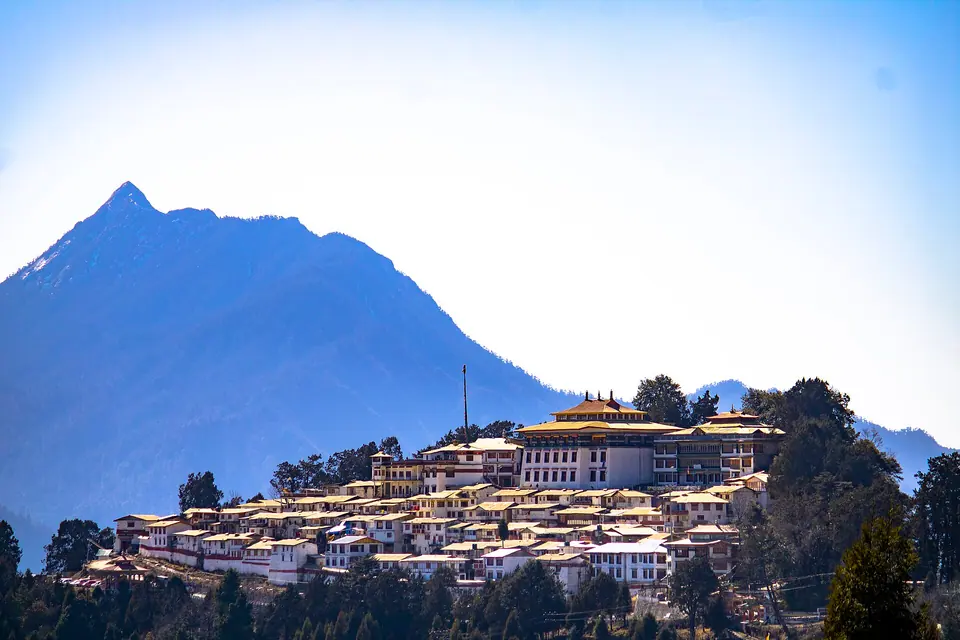
 Itrajib · Commons · CC BY-SA 4.0
 Ashwani Kumar · Commons · CC BY-SA 4.0
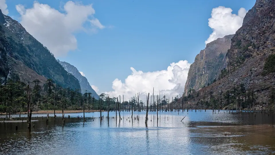
 Saurabhgupta8 · Commons · CC BY-SA 4.0
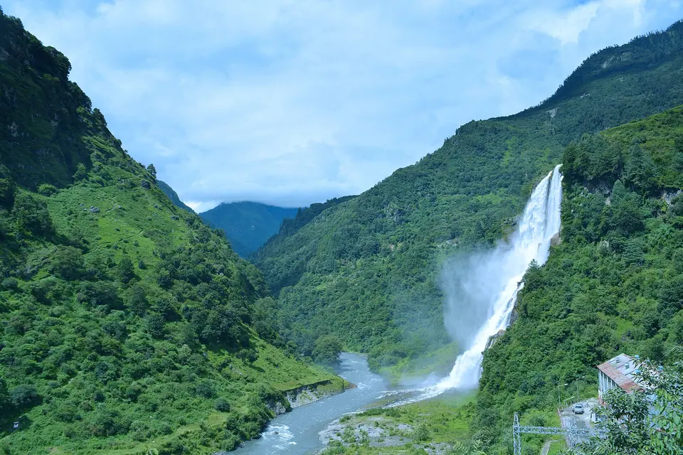
 JyotiPN · Commons · CC BY-SA 4.0
Things to do
- Stop at the Sela gate for photographs and the altitude board
- Walk down to the edge of Sela Lake, frozen solid in winter
- Drink a hot tea and eat momos at the army canteen when it is open
- Play in the snow on the slopes from December to March, keeping clear of the road
- Stop at Jaswantgarh memorial on the Tawang side
- Compare the drive: go over the pass on the way up and through the tunnel on the way down
- Continue to Nuranang Falls near Jang, about 40 km short of Tawang
Getting there
Sela lies on NH-13 between Dirang and Tawang. From Dirang (about 1,500 m) it is roughly 55 to 60 km and 2 to 2.5 hours of steady climbing past Baisakhi; from Tawang it is about 78 km and 3 hours. From Tezpur, count on about 260 km and 8 hours, which is why almost everyone stops a night at Dirang or Bomdila first. Leave Dirang by 7 am so you cross the pass before afternoon cloud and wind. When snow closes the old road, traffic goes through the Sela Tunnel and you may not reach the lake. Check current status before you travel.
Where to stay
There is no tourist accommodation at the pass, and we would not want you to sleep at 4,170 m anyway. Stay the night before in Dirang (about 1,500 m), which has homestays, orchard farmstays and mid-range hotels along the river, or in Bomdila (about 2,400 m) if you are coming straight from Tezpur. Continue to Tawang for the next nights. In winter, pick a place with a room heater and confirm hot water, and keep a buffer day in case snow holds the road.
Local tips
- Cross early; by early afternoon cloud often closes in and the wind picks up
- Spend no more than 30 to 60 minutes at the top and walk slowly
- Carry a down jacket, gloves and a cap even in May; it can snow in any month
- Snow chains and 4x4 matter in winter; ask your driver before you set off
- There is no mobile signal on long stretches around the pass; tell your hotel your plan
- The old pass road is maintained less now that the tunnel is open, so its condition varies season to season
Rain and weather
Source: modelled climate data
October to May for the pass road; December to March for snow, when the old road can close and traffic moves through the tunnel.