

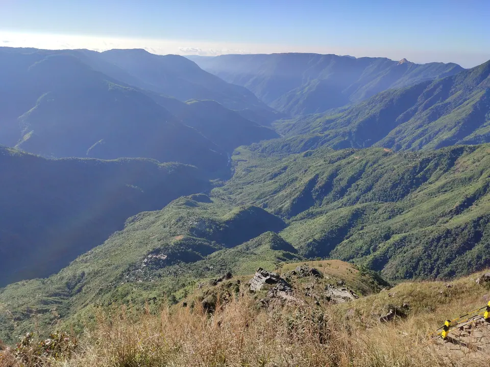
 ANKAN · Commons · CC BY-SA 4.0
Meghalaya
Waterfalls, living root bridges and the clearest river in India, three hours from Guwahati.
| Place | Altitude | Best months | Permit | From hub |
|---|---|---|---|---|
| Shillong | 1,525 m | Oct–May | No (Indians) | 100 km from Guwahati |
| Shillong Peak | 1,965 m | Oct–Apr | No (Indians) | 10 km from Shillong |
| Elephant Falls | 1,600 m | Jun–Nov | No (Indians) | 12 km from Shillong |
| Umiam Lake | 980 m | Oct–May | No (Indians) | 15 km from Shillong |
| Laitlum Canyons | 1,750 m | Oct–Apr | No (Indians) | 22 km from Shillong |
| Sohra (Cherrapunji) | 1,480 m | Oct–Apr | No (Indians) | 54 km from Shillong |
| Nohkalikai Falls | 1,240 m | Jun–Nov | No (Indians) | 58 km from Shillong |
| Mawsmai Cave | 1,280 m | Oct–Apr | No (Indians) | 56 km from Shillong |
| Nongriat Double Decker Root Bridge | 600 m | Oct–Mar | No (Indians) | 65 km from Shillong |
| Wei Sawdong Falls | 1,380 m | Oct–Apr | No (Indians) | 50 km from Shillong |
| Mawlynnong | 500 m | Oct–Apr | No (Indians) | 78 km from Shillong |
| Dawki and the Umngot River | 50 m | Nov–Apr | No (Indians) | 82 km from Shillong |
| Shnongpdeng | 60 m | Nov–Apr | No (Indians) | 90 km from Shillong |
| Krang Suri Falls | 900 m | Oct–Apr | No (Indians) | 93 km from Shillong |
| Mawphlang Sacred Forest | 1,800 m | Oct–May | No (Indians) | 25 km from Shillong |
| Nartiang Monoliths | 1,400 m | Oct–May | No (Indians) | 65 km from Shillong |
| Jowai | 1,380 m | Jul, Oct–Apr | No (Indians) | 64 km from Shillong |
| Mawsynram | 1,400 m | Jun–Mar | No (Indians) | 65 km from Shillong |
| Nongkhnum River Island | 600 m | Nov–Apr | No (Indians) | 110 km from Shillong |
| Balpakram National Park | 910 m | Oct–Mar | Yes | 165 km from Tura |
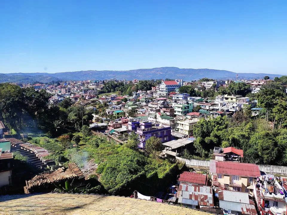 Shillong
Meghalaya's pine-cooled capital and the base for most trips
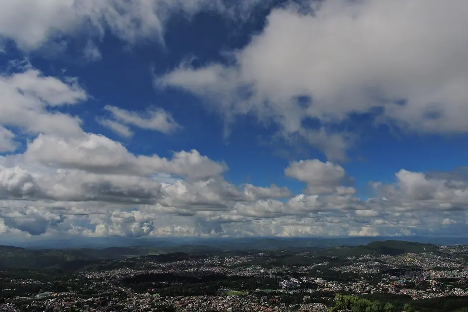 Shillong Peak
The highest point near the city, with Shillong spread out below
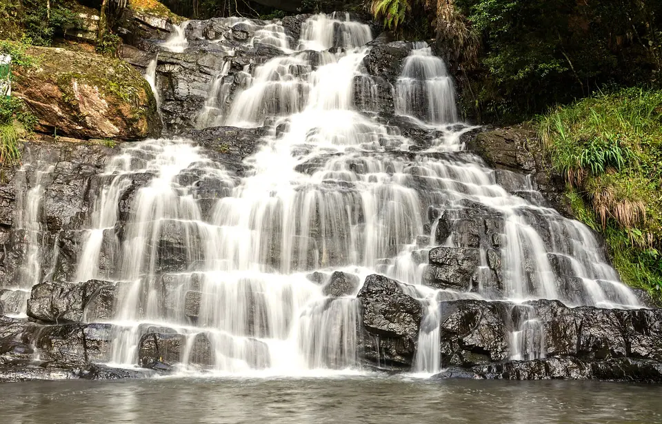 Elephant Falls
A three-step waterfall 12 km from Shillong, down a fern-lined stair
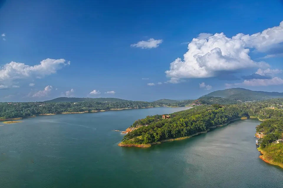 Umiam Lake
A pine-ringed reservoir 15 km north of Shillong on the Guwahati road
Laitlum Canyons
Grassy ridge above deep valleys, an hour from Shillong
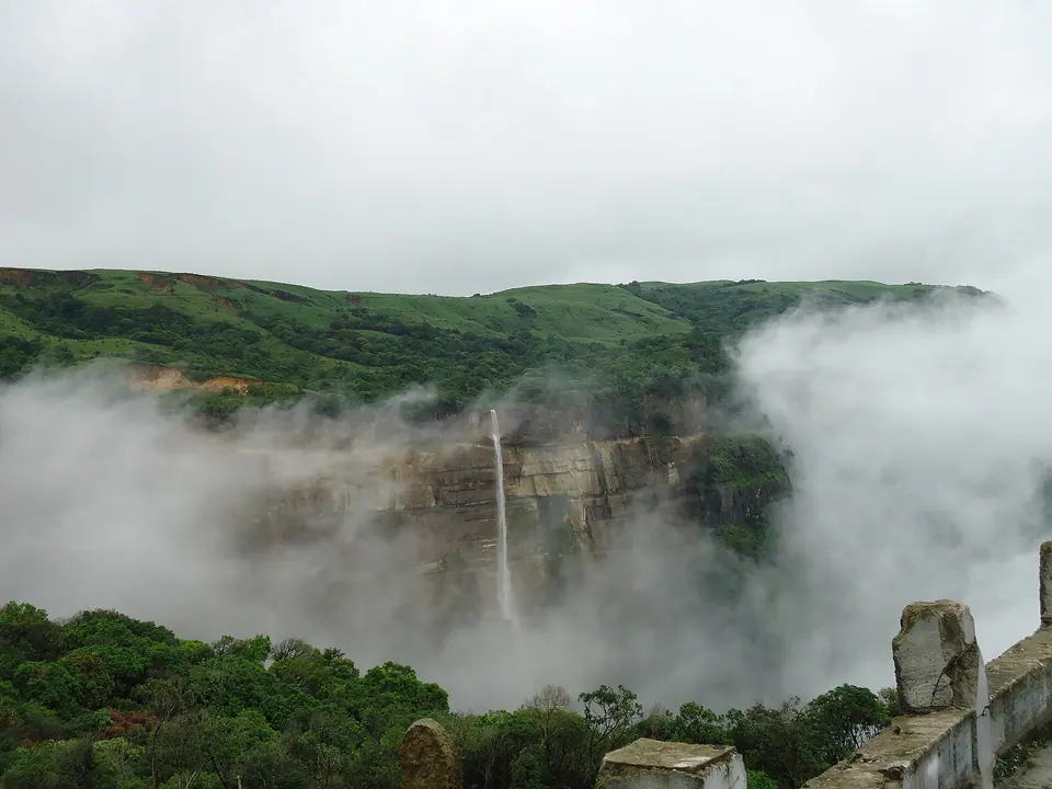 Sohra (Cherrapunji)
Rain-record town on a plateau edge, ringed by falls and root bridges
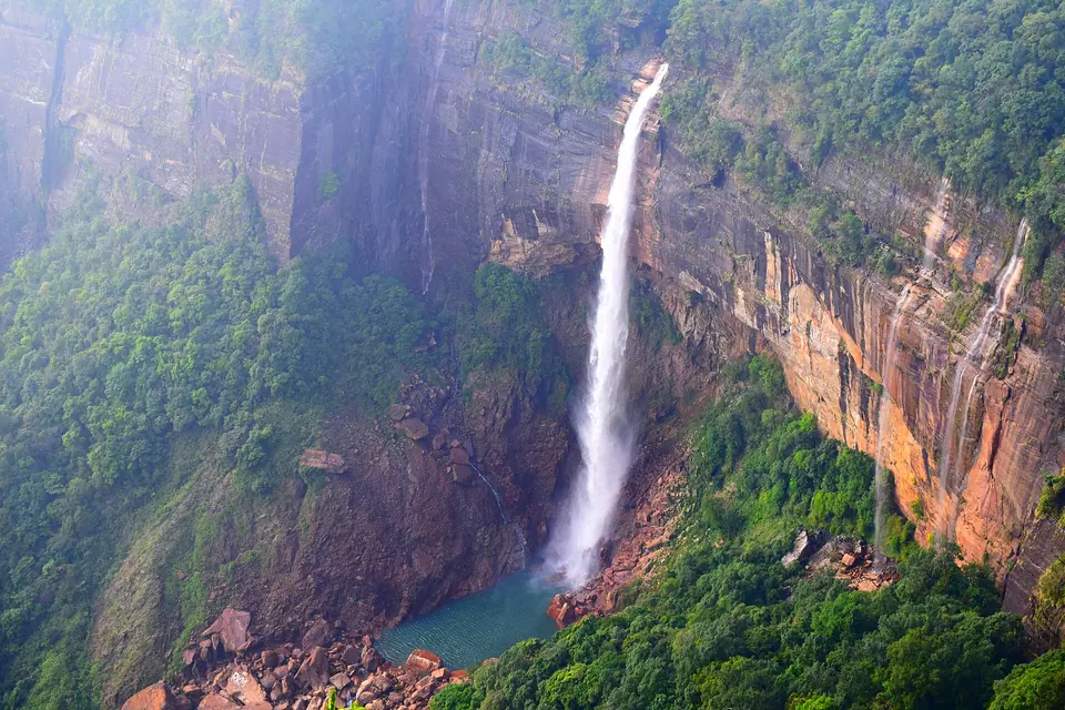 Nohkalikai Falls
India's tallest plunge waterfall, dropping about 340 m near Sohra
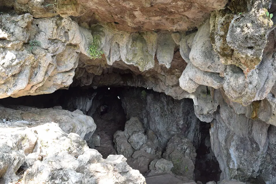 Mawsmai Cave
A lit limestone cave south of Sohra with a 150 m squeeze-through walk
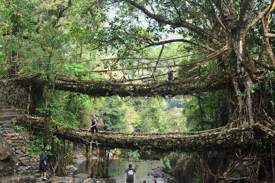 Nongriat Double Decker Root Bridge
About 3,500 steps down to a two-tier bridge grown from living roots
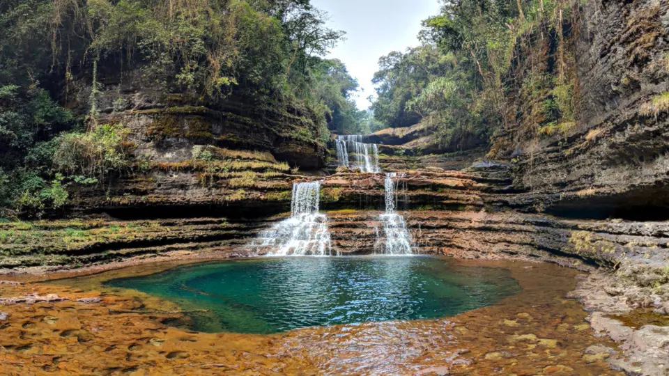 Wei Sawdong Falls
Three-tier falls over turquoise pools, down a steep path near Sohra
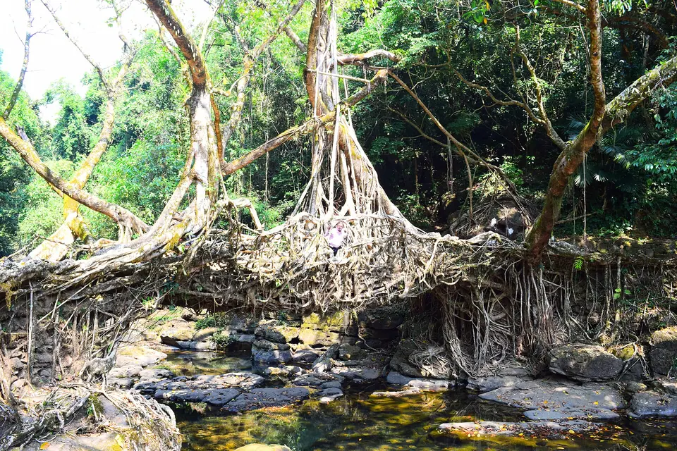 Mawlynnong
Khasi village known for swept lanes, near the Bangladesh border
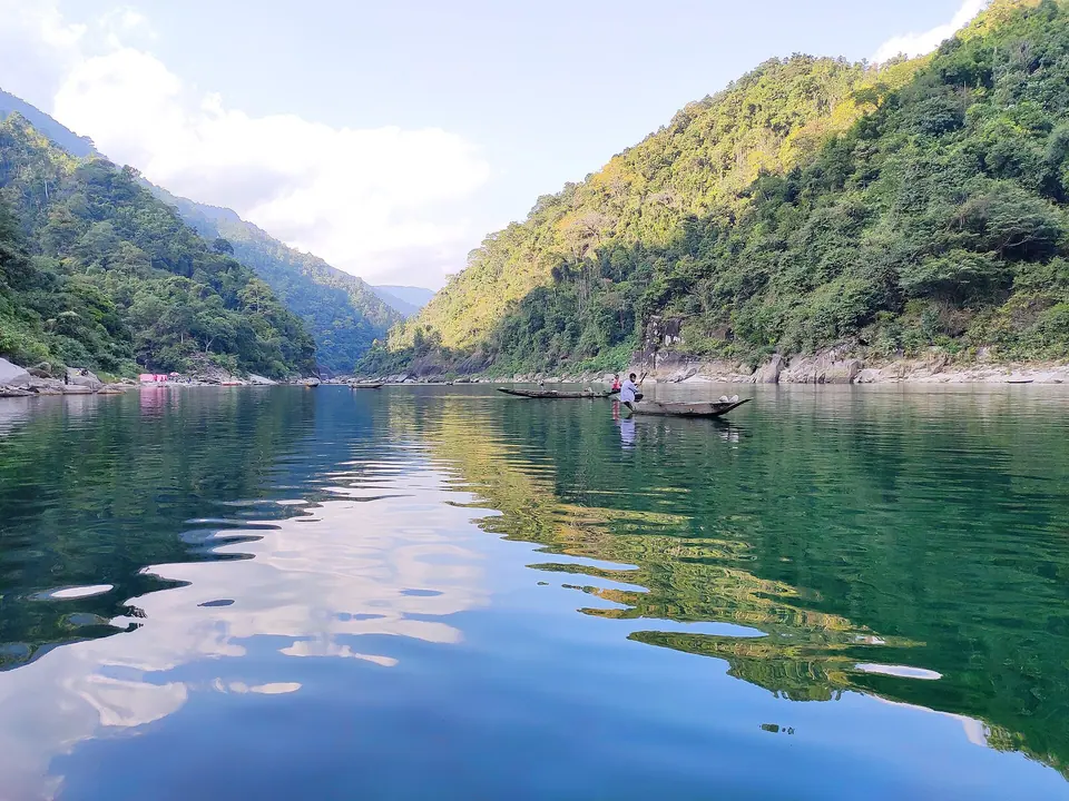 Dawki and the Umngot River
Boats that seem to float on clear water at the Bangladesh border
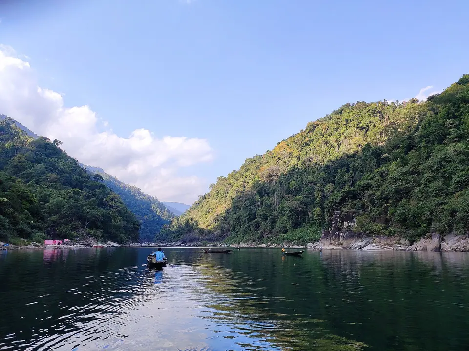 Shnongpdeng
Riverside camps and clear-water swims upstream of Dawki
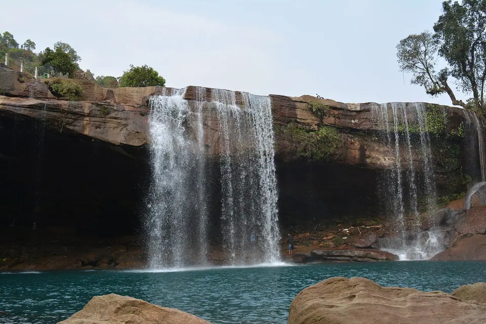 Krang Suri Falls
A blue-pool waterfall in the Jaintia Hills where you can swim
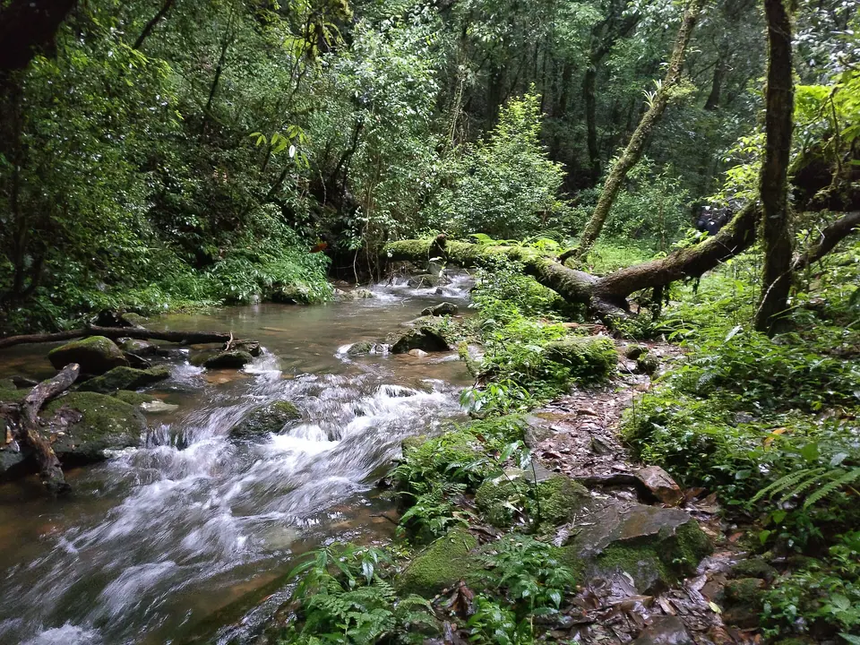 Mawphlang Sacred Forest
A Khasi sacred grove where nothing, not even a leaf, leaves the forest
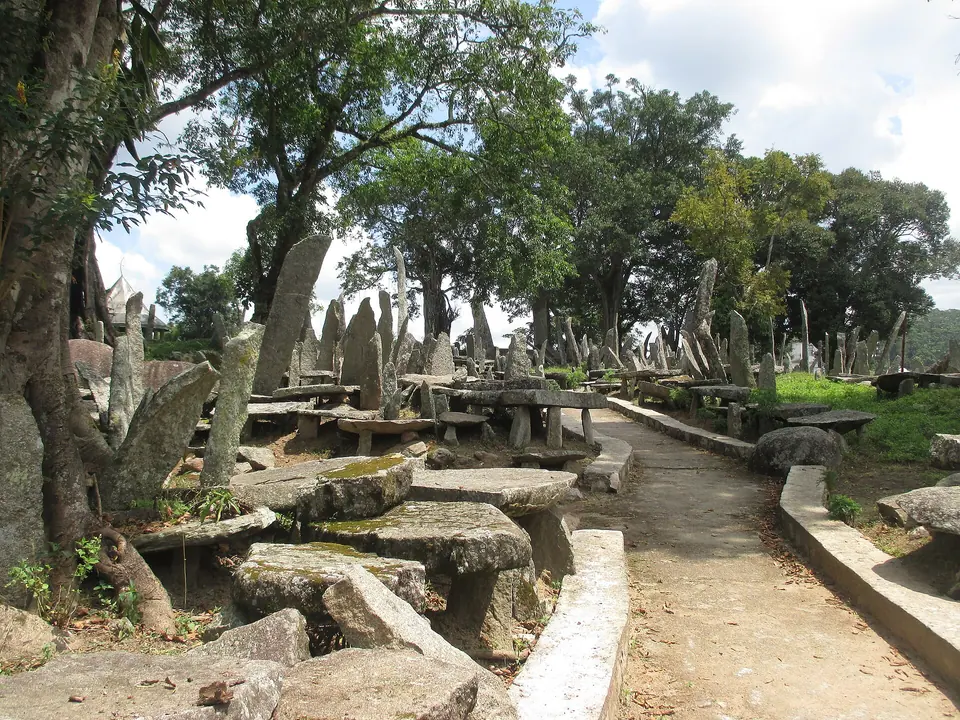 Nartiang Monoliths
A garden of standing stones raised by the Jaintia kingdom
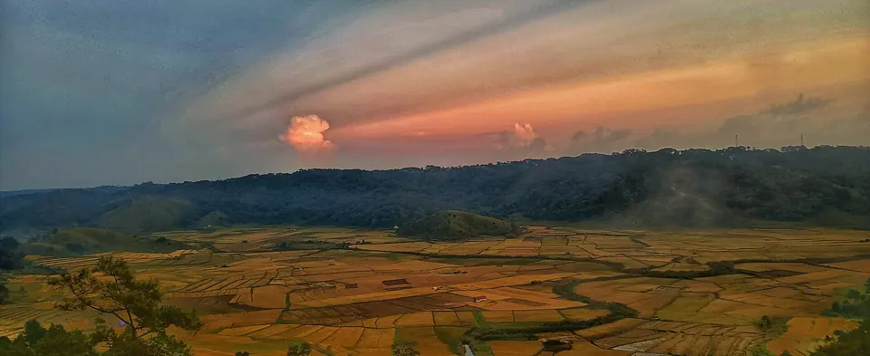 Jowai
Hill town of the Pnar people and base for the Jaintia Hills
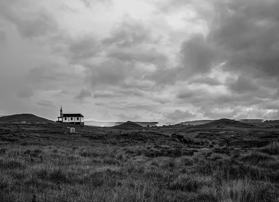 Mawsynram
The rain-record village on the edge of the Khasi Hills
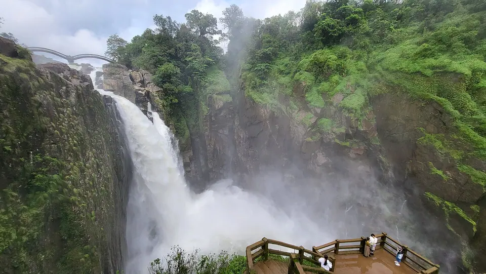 Nongkhnum River Island
Meghalaya's largest river island, with sand, falls and few visitors
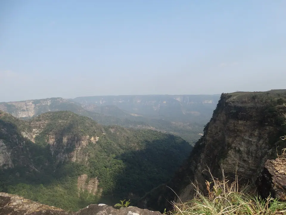 Balpakram National Park
Remote Garo Hills gorge and plateau, held sacred as a land of spirits
Meghalaya tour packages
Shillong, Cherrapunji, Dawki and Mawlynnong
- Shillong
- Shillong Peak
- Elephant Falls
- Sohra
- Nohkalikai Falls
- +3
Living Root Bridges Trek
- Sohra
- Nongriat Double Decker Root Bridge
- Nohkalikai Falls
- Wei Sawdong Falls
- Mawlynnong
- +1
Meghalaya: questions travellers ask
01How far is Shillong from Guwahati?
Shillong is about 100 km from Guwahati city on the four-lane GS Road (NH6), which takes 2.5 to 3.5 hours. From Guwahati airport, 28 km west of the city, allow 3 to 3.5 hours. Add time if you stop at Umiam Lake or hit evening traffic entering Shillong.
02What is the entry fee for Shillong Peak?
Shillong Peak has a small entry fee, typically under INR 100 per person, plus a separate charge per vehicle, collected at the Air Force checkpoint. Fees change from time to time, so carry cash in small notes and check current status before you travel.
03What is the entry fee for Elephant Falls?
Elephant Falls charges a small entry fee, typically well under INR 100 per person, with a separate camera fee and a parking charge for vehicles. Fees are collected in cash at the ticket gate and are revised from time to time, so carry small notes, check the rate locally and check current status before you travel.
04How far is Umiam Lake from Shillong?
Umiam Lake is about 15 km north of Police Bazar on the Guwahati–Shillong road, a 25 to 35 minute drive depending on traffic leaving the city. From Guwahati city it is about 85 km, or 2.5 hours, which is why most visitors stop there on the way up or down.
05How far is Laitlum Canyons from Shillong?
Laitlum Canyons is about 22 km from Police Bazar in Shillong, which takes 45 minutes to an hour by car on the road through Smit. There is no regular bus to the rim, so most visitors hire a taxi from Shillong for a half-day and ask the driver to wait.
06Is Cherrapunji the wettest place on Earth?
Cherrapunji, or Sohra, is among the wettest places on Earth, with an average of about 11,200 mm of rain a year. It holds the record for a calendar month, about 9,300 mm in July 1861, and a 12-month record of 26,461 mm. Nearby Mawsynram usually records a slightly higher annual average.
07How tall is Nohkalikai Falls?
Nohkalikai Falls is about 340 m (1,115 ft) high, and it is generally described as the tallest plunge waterfall in India, meaning the water falls clear of the rock face. It drops from the edge of the Sohra plateau into a large plunge pool that often looks milky green.
08What is the entry fee for Mawsmai Cave?
Mawsmai Cave charges a small entry fee, typically under INR 100 per person, with a lower rate for children, plus parking and separate charges for cameras and film shoots. Fees are collected in cash at the gate and are revised from time to time, so check locally and check current status before you travel.
09How many steps are there to the double decker root bridge?
The trek from Tyrna village to the double decker root bridge at Nongriat is about 3,500 steps each way, covering roughly 3 km. Descending takes 1.5 to 2 hours. The climb back up takes 2 to 3 hours for most fit adults, so the full round trip is usually 5 to 7 hours with rest stops.
Still wondering? Ask a trip planner
Plan your Meghalaya trip
Shared Sumo in Shillong and Getting Around the Northeast
Is Northeast India Safe? A State-by-State Answer
Northeast 7 Days Itinerary: Shillong, Sohra, Kaziranga
Meghalaya Tour from Chennai: Flights, Days and Costs
Northeast in December: Snow, Hornbill and Christmas Plans
Meghalaya in October: Weather, Crowds and a 5-Day Plan
Tell us your dates, we’ll plan the route
Share when you’re travelling and who’s coming. A planner replies with a day-by-day route, hotel options and a clear price, usually within a working day.