
Balpakram National Park covers about 220 sq km of plateau, gorge and forest at around 910 m in South Garo Hills, Meghalaya, near the Bangladesh border. It is a long day's drive, roughly 6 hours, from Tura. Garo tradition holds it as a resting place of spirits. Go between October and March, with forest department permission and a local guide.
Balpakram is one of the least visited protected areas in Meghalaya, and that is part of the reason to go. The park spreads across about 220 sq km of South Garo Hills, a table-land at roughly 910 m cut by a deep gorge, with grassland on top and dense forest in the valleys below. It was inaugurated as a national park in 1987.
For the Garo people, Balpakram is more than a park. Local belief holds that the spirits of the dead rest here on their journey onward, and many rocks, pools and trees carry names and stories linked to that belief. A local guide will point them out, and it is the best way to understand what you are looking at. The park's wildlife includes elephants, barking deer, wild water buffalo and smaller cats, though sightings are never promised in this terrain.
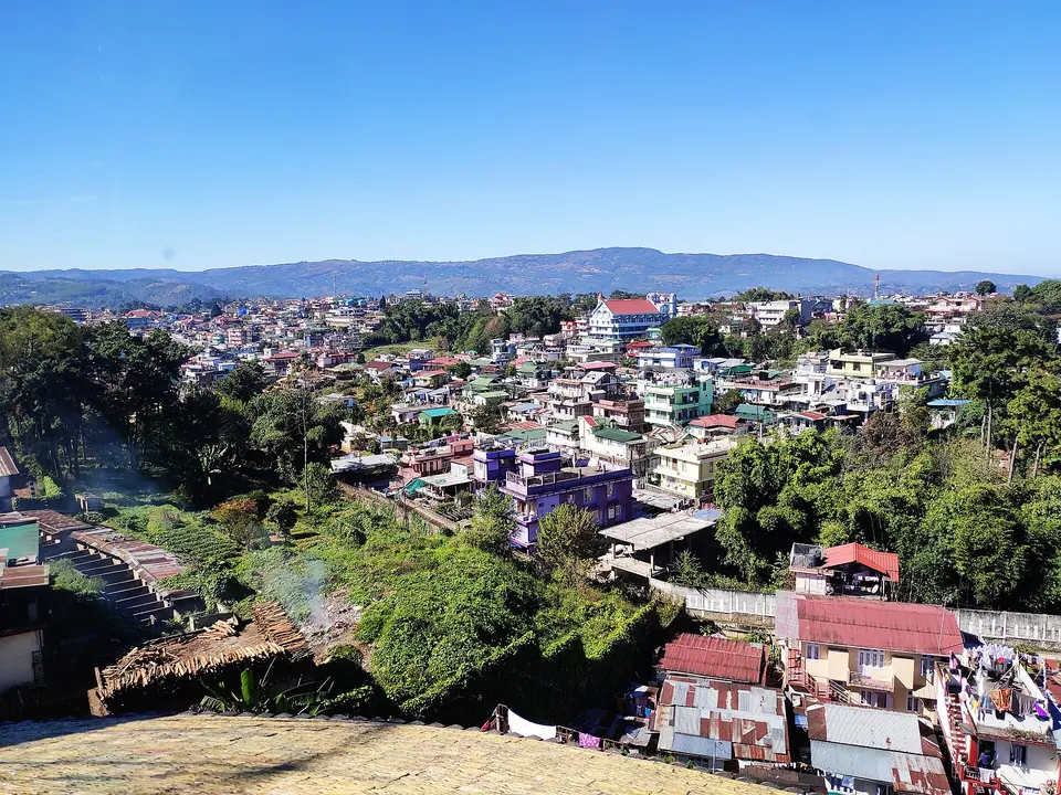
Getting here takes planning. Tura is the main town of the Garo Hills, and from there the drive to Baghmara and on to the park takes most of a day on hill roads. We suggest two nights in the Baghmara area, with Siju Cave and the Simsang river on the way, and a full day inside the park with a guide.
What makes it worth the trip
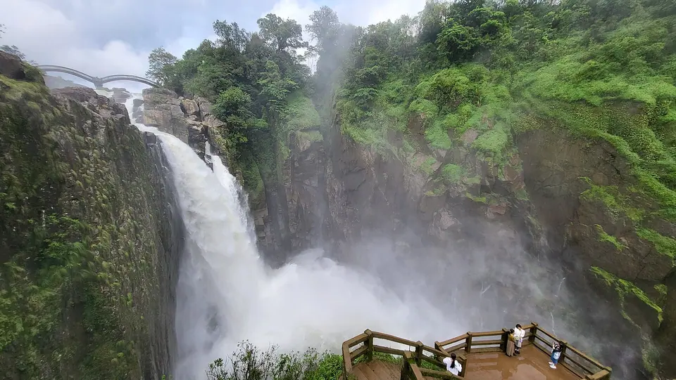
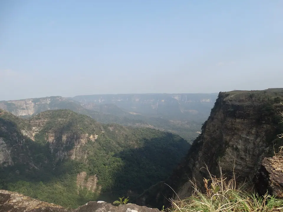
The Balpakram gorge
A deep, forested canyon cut into the plateau, the park's best-known view from the rim.
Spirit sites
Rocks, pools and trees linked to Garo beliefs about the journey of souls; a guide explains each.
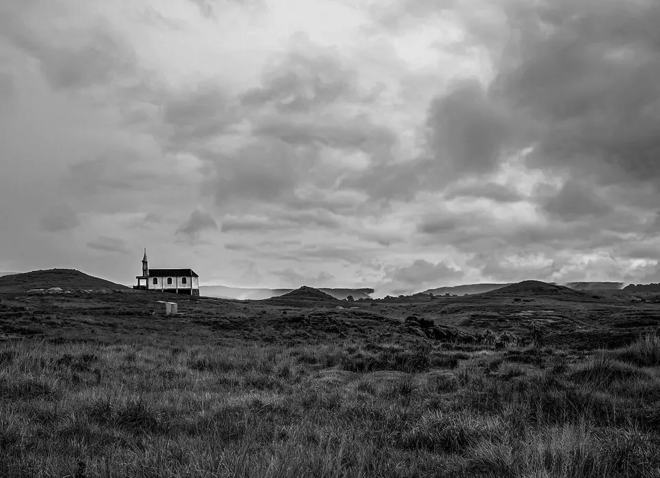
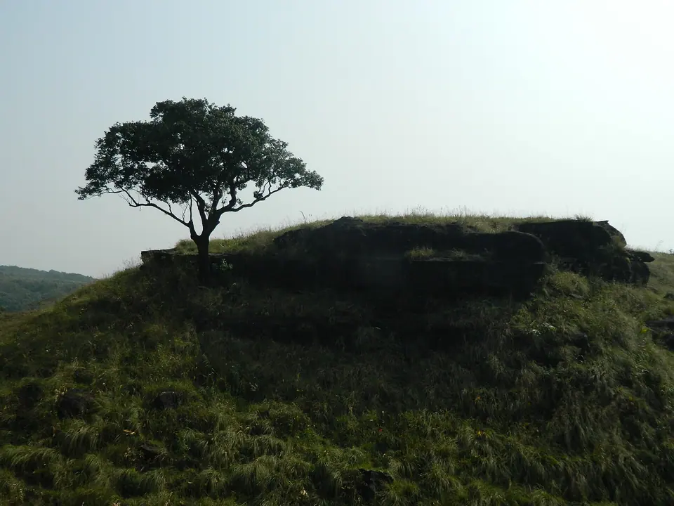
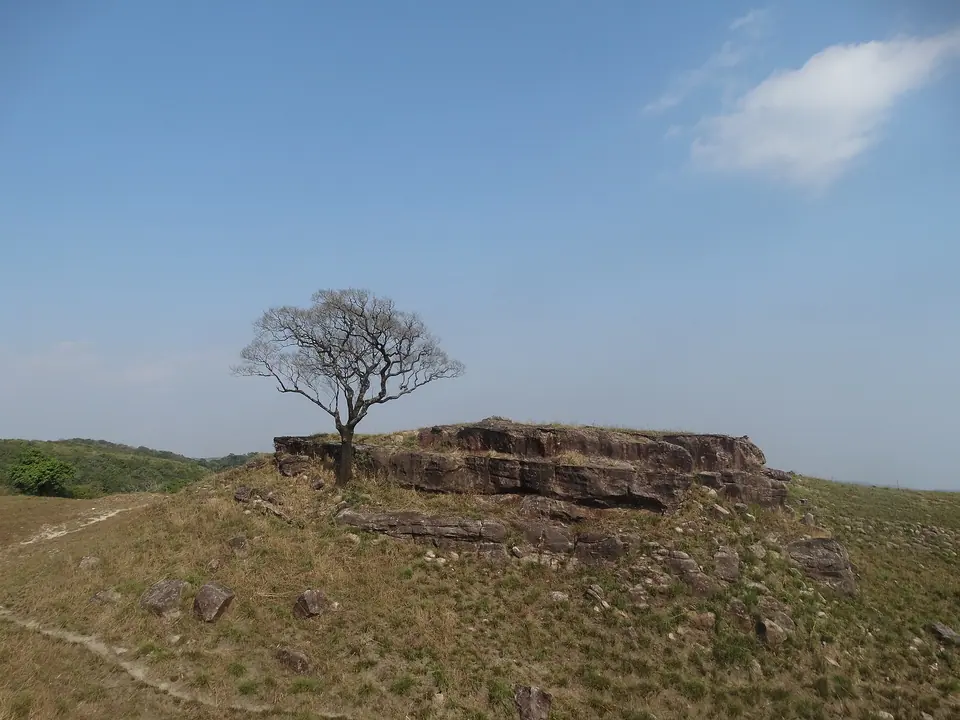
Plateau grassland
Open grassland on top of the table-land, with wide views south towards the plains.
Pitcher plants
Insect-eating pitcher plants grow in the region; ask your guide where to look.
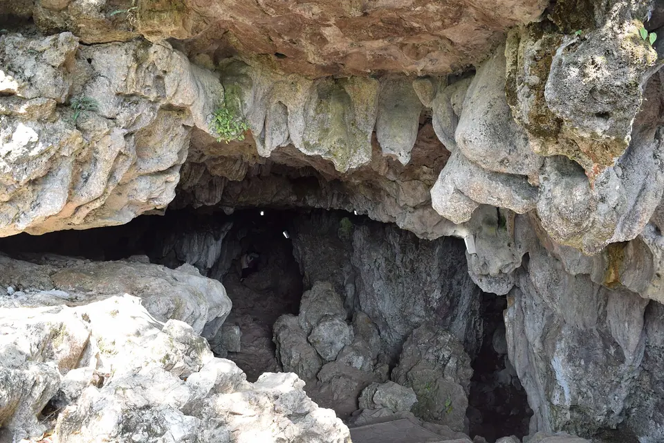
Siju Cave nearby
A long limestone cave near the Simsang river, a common stop on the way from Tura.
 James Gabil Momin · Commons · CC BY-SA 4.0
 Hgm2016 · Commons · CC BY-SA 4.0
 James Gabil Momin · Commons · CC BY-SA 4.0
Things to do
- Walk to the gorge rim with a local guide
- Hear the Garo stories linked to the park's spirit sites
- Look for birds and signs of wildlife on early morning walks
- Photograph the plateau and gorge in clear winter light
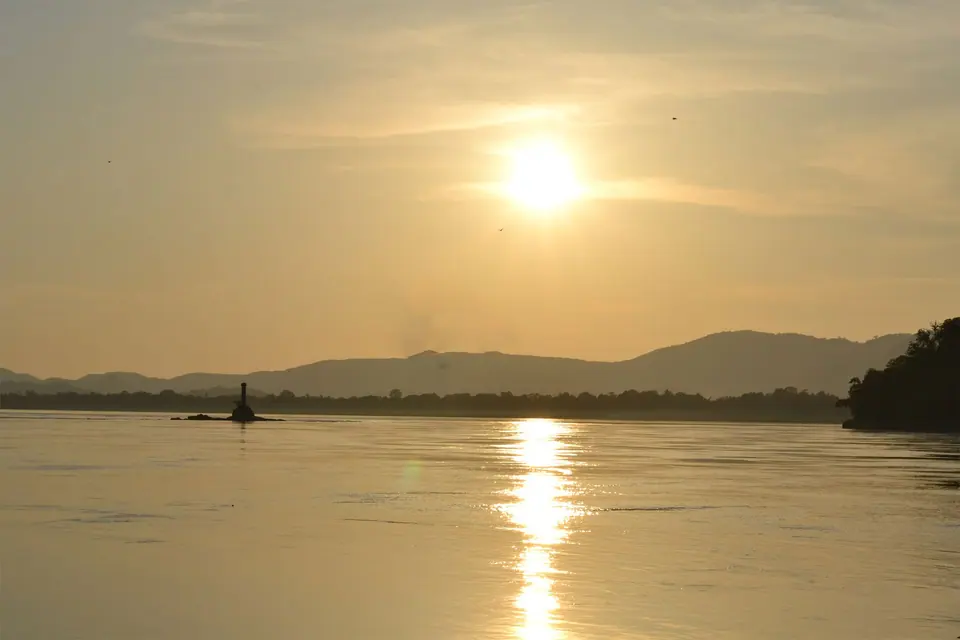
- Visit Siju Cave and the Simsang river on the way
- Spend a night in Baghmara to break the journey
- Look for pitcher plants with your guide
Getting there
Tura, the largest town in the Garo Hills, is the usual starting point. From Tura, the drive to the park via Baghmara, the headquarters of South Garo Hills, takes most of a day, roughly 6 hours on winding hill roads; road conditions vary, so check current status before you travel. There is no public transport into the park. Hire a sturdy vehicle with a driver who knows the route. Tura is about 220 km from Guwahati by road, and has a small airstrip with irregular flights. From Shillong, the park is a very long drive; Meghalaya Tourism puts it at 9 to 10 hours.
Where to stay
Stays are simple and limited. Baghmara has a few basic hotels and guest houses, and the forest department has maintained rest-house accommodation near the park, which must be arranged in advance with the DFO office in Baghmara. Siju has small guest facilities used by visitors to the cave. Tura has a wider choice of hotels for the nights before and after. Carry supplies, confirm meals and power backup, and do not expect resort facilities anywhere near the park.
Local tips
- Arrange permission and a guide with the forest department in Baghmara before you go
- Carry food, drinking water, a torch and a first-aid kit; supplies near the park are limited
- Treat spirit sites with respect and follow your guide's instructions
- Mobile coverage is patchy; tell someone your plans
- Avoid the monsoon, June to September, when tracks and roads are at their worst
- Keep cash for permits and fees, and check current status before you travel
Rain and weather
Source: IMD 1991–2020 normals
October to March for dry tracks, clear gorge views and cooler walking weather.